Vancouver Island rewards travellers who plan for transitions. Distances that look modest on a map can contain ferry connections, slower highways, weather, trail access, and places worth stopping before the day’s stated destination.
Begin with the shape of the island
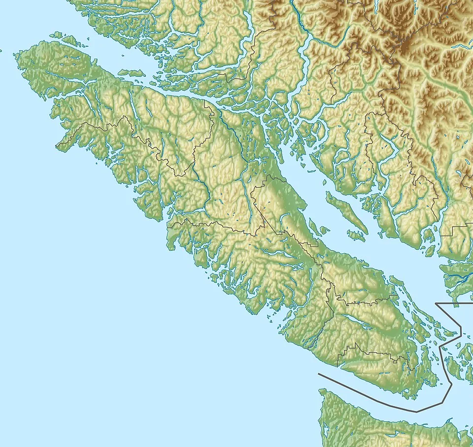
The island extends for hundreds of kilometres. The south and east generally hold more urban, agricultural, and sheltered-water contexts; the west is exposed to the Pacific; the centre rises into mountain country; and communities continue far north of the most familiar visitor circuit.
“More island ahead” is a useful planning rule: finish one day with enough room for the landscape you did not expect.
A route-building table
| Question | Why it matters | Practical response |
|---|---|---|
| Which coast? | Exposed Pacific and sheltered Salish Sea conditions differ. | Check weather and marine conditions for the specific side. |
| How far north? | Services and road patterns change. | Confirm fuel, food, accommodation, and seasonal access. |
| How much inland? | Mountain weather can differ from the coast. | Carry appropriate layers and verify park notices. |
Build a sequence, not a race
- Choose one anchor region.
- Add a contrasting coast or interior day.
- Keep one flexible weather window.
- Limit same-day backtracking.
- Confirm every time-sensitive detail near departure.
Community is part of the route

Victoria Half-Day Whale Watching Adventure with Free Photos
Hop aboard Salish Sea Eclipse – a high-speed, luxury, custom-built catamaran. This 95 passenger catamaran was engineered and built in Canada with th...

Victoria Guided Food and History Tour
This award-winning, owner-operated 2-hour tour begins at the Phillips Brewing Tasting Room (2000 Government St) and...

Victoria Whale and Wildlife Cruise
Come and meet the locals—the flippered, furred and feathered kind—on this guided 3.5-hour or more whale watching...

Victoria Zodiac Boat Whale Watching Adventure
Join us as we head out in search of marine wildlife in the waters of British Columbia on this 3-hour whale-watching...
Harbours, ferry terminals, farms, cultural centres, restaurants, and working streets are not merely stops between landscapes. They are part of what makes the island inhabited, specific, and worth understanding.